RAILROAD SIGNALS of the U.S.
Have A Little Fun
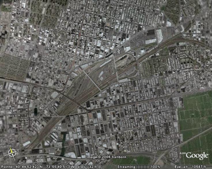
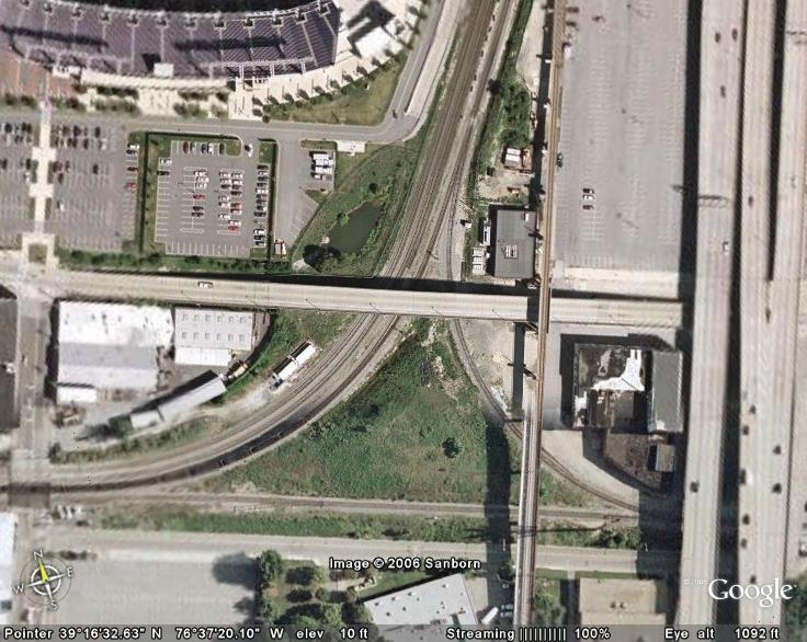
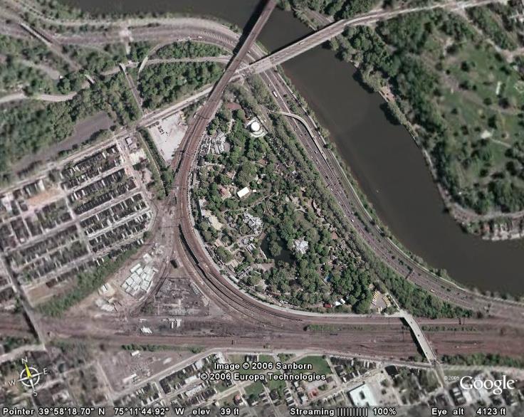
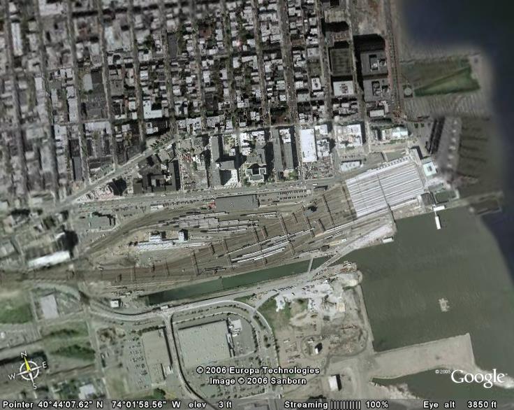
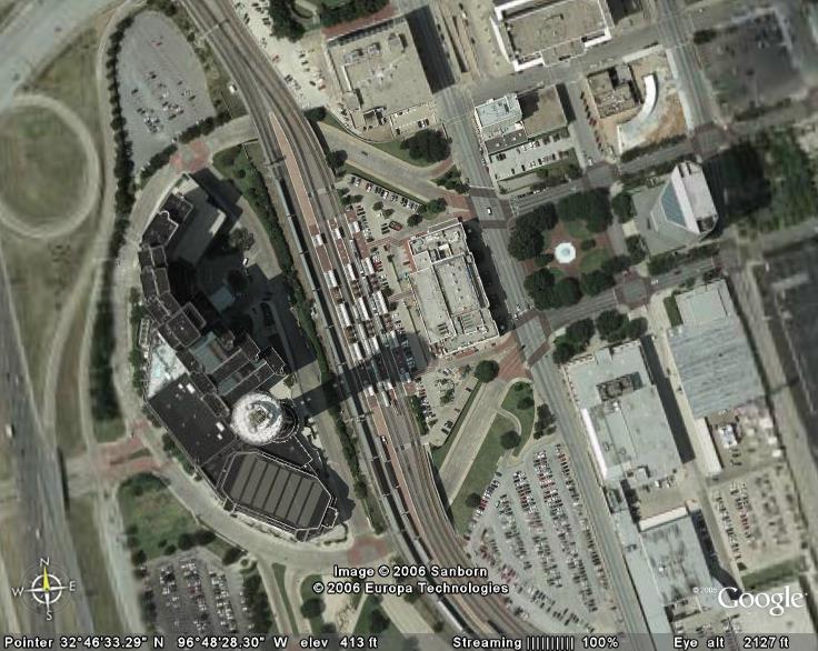
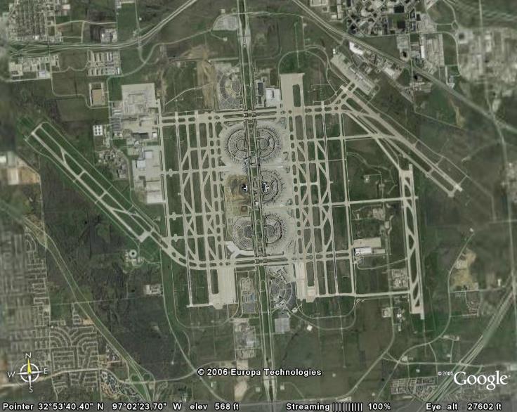
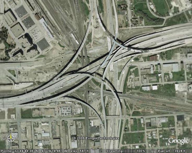
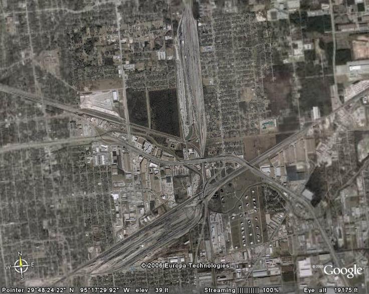
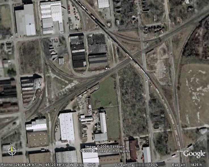
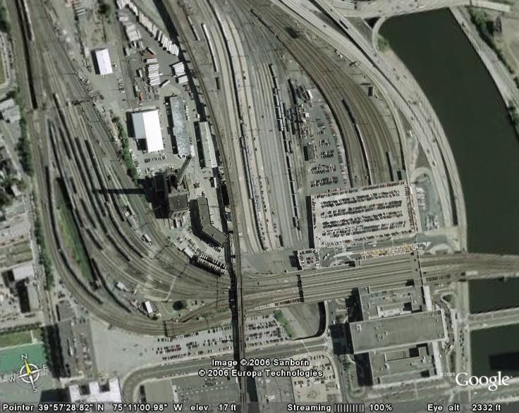
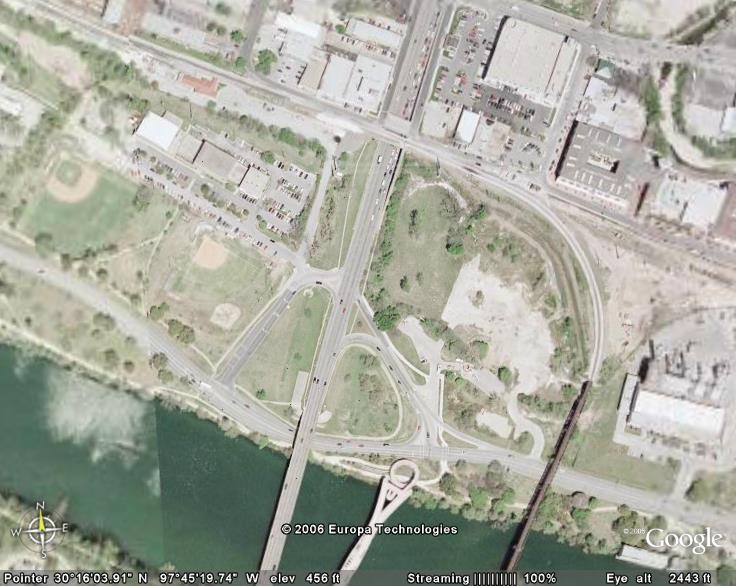
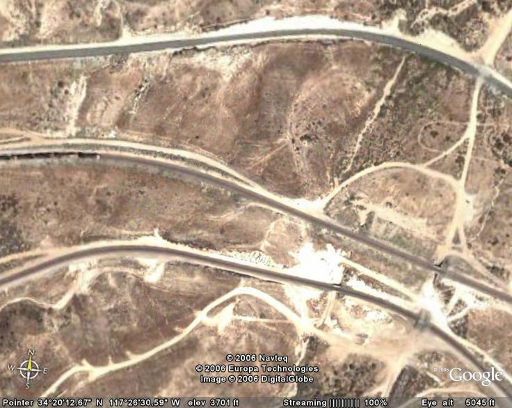
See If You
Can Guess Where These
Google Maps
and
Bing Maps Pictures Are From
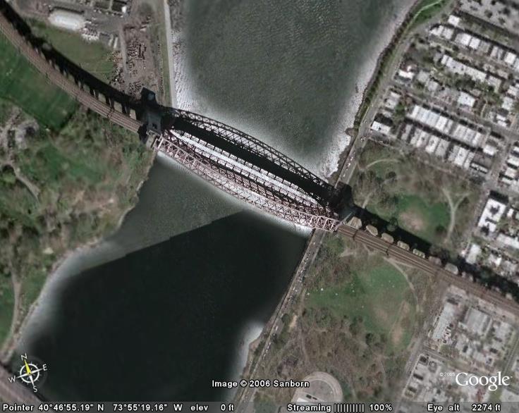
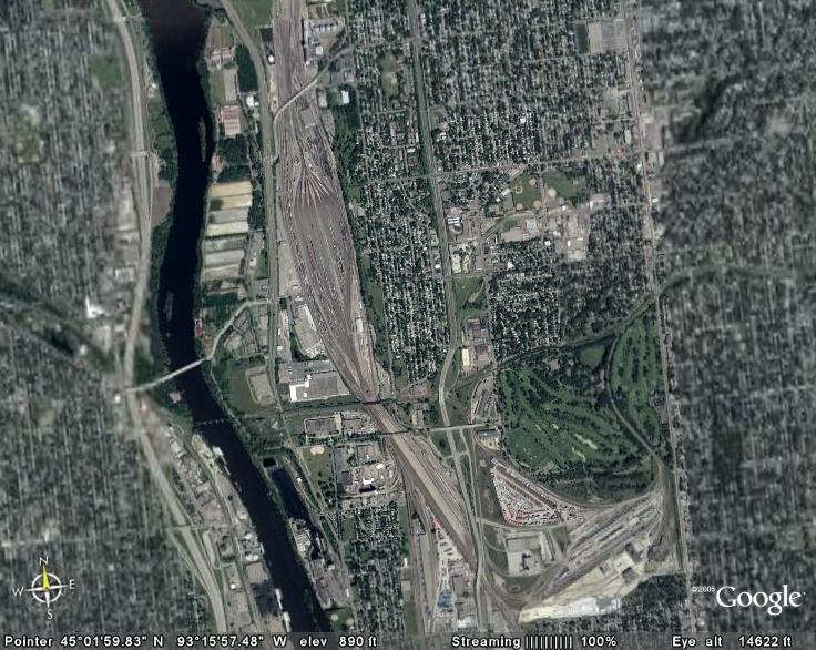
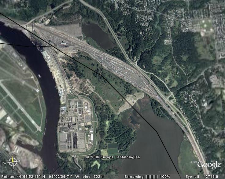
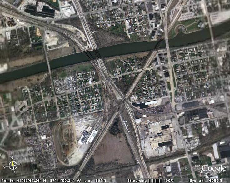
I threw in a couple of ringers
RAILFAN GUIDES HOME
RAILROAD SIGNALS HOME
Google Earth, Google
Maps, and Bing Maps are great
resources if you have a fast connection.... they won't work very well with a dial-up
modem, as the data stream is tremendous.... and, they let
you use the images freely for non-commercial purposes as long as the source info
is left intact on the image..... enjoy!
(Sorry, this page is not phone modem friendly, as there are 26 pictures, at
around a 100K each)
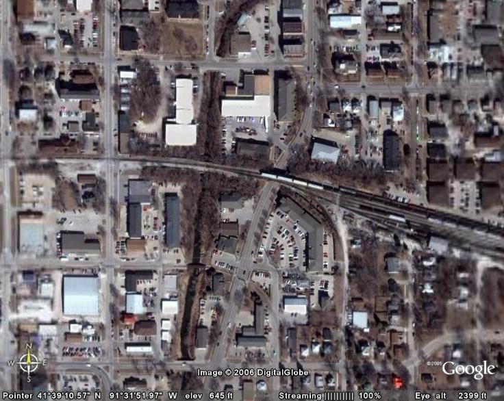
(you can cheat by
looking up the coordinates, but it's much easier at the bottom of the page to go
to the link with the answers!)
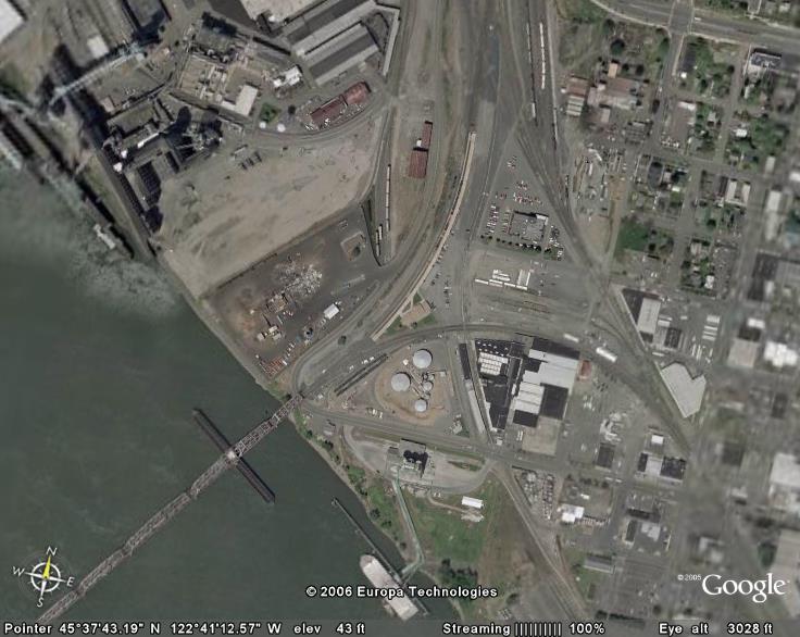
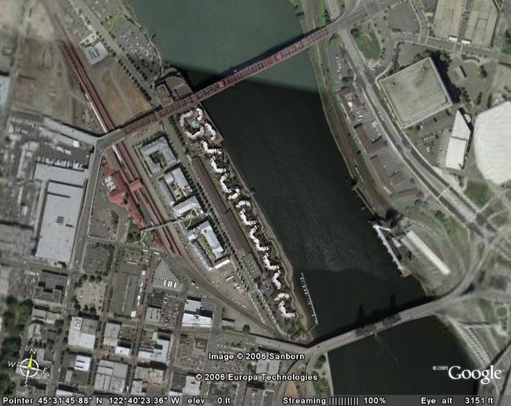
HINT - southbound Willamette and Pacific
freight in the photo
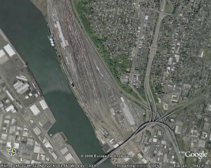
HINT -the depot on the north side of the
tracks, just before it goes off the left side of the picture, has been the
subject of many, many railfan photos because of the semaphore signal
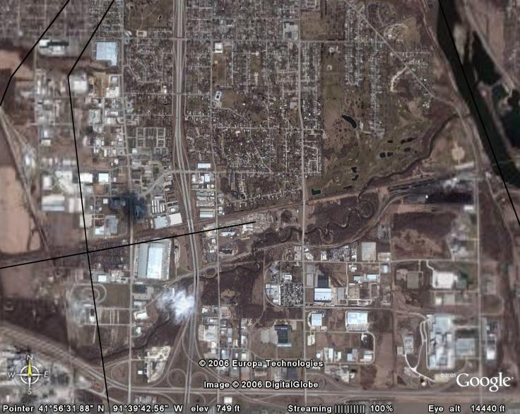
For the answers, click here
NEW 06/16/2006
Last Modified
29-Mar-2014