RAILFAN GUIDES HOME RAILROAD SIGNALS HOME
Google Maps, Google Earth, and Bing Maps are all great resources! But,
this page was originally done before Bing had better maps.
With what Google has done with their maps going to a 3-D format, I find them
pretty useless unless nothing else is around to use, so I prefer Bing Map's
aerials. Google Streetview however, I feel is better than Bing's version.
Bing's Birds Eye View is a great resource, but they don't cover as much area
with "it" as they used to.... darn.
I originally had a comment on this page that stated this page is
not phone modem friendly, as there are 26 pictures, at
around a 100K each). I don't think we need to worry about that any more, huh? :-)
If you're stumped, you can cheat by looking up the coordinates, but it's much easier
to wait till the bottom of the page and go to the next page with the answers!
Hint: New York
Hint: Minnesota
Hint: Minnesota
Hint: Illinois
Hint: New York
Hint: Maryland
Hint: Pennsylvania
Hint: New Jersey
Hint: Texas
Hint: Texas
Hint: Texas
Hint: Texas
Hint: Texas
Hint: Pennsylvania
Hint: Texas
Hint: California
Hint: California
Hint: California
Hint: California
Hint: Washington
Hint: Oregon
Hint: Oregon
Hint: Oregon
Southbound Willamette and Pacific freight in the photo, where you can watch
trains from the 3rd floor of the Courtyard Hotel next to the tracks.
Hint: Nebraska
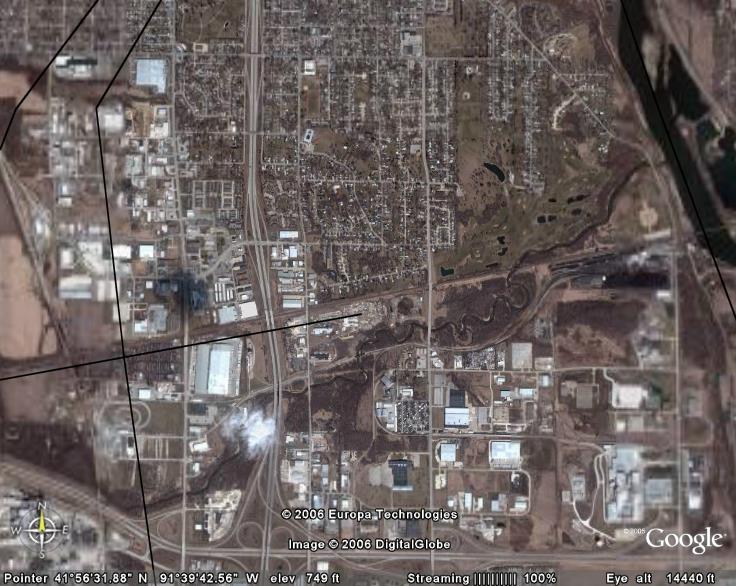
Hint: Iowa
The depot on the north side of the
tracks, just before it goes off the left side of the picture, has been the
subject of many, many railfan photos because of the semaphore signal
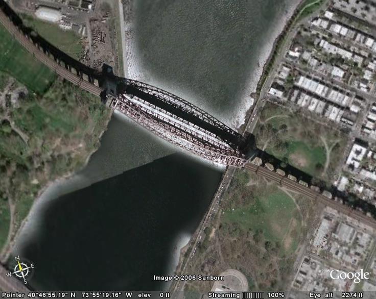
Not part of the quiz, but this screen grab of Hellgate Bridge in Queens, New
York City is a reminder of why I'm down on Bing Maps for what they have done
with their map service.... It's a combination of satellite view, and Bird's Eye
view of perhaps the grandest of all railroad bridges in the United States...
shame on Bing :-)

 Hint: New York
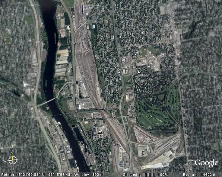 Hint: Minnesota
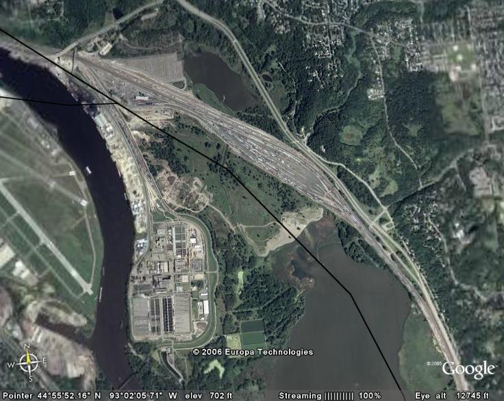 Hint: Minnesota
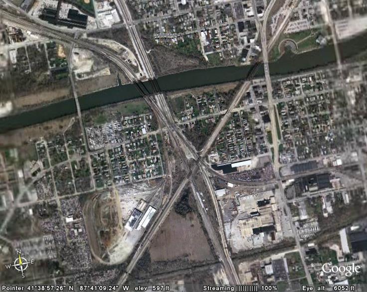 Hint: Illinois
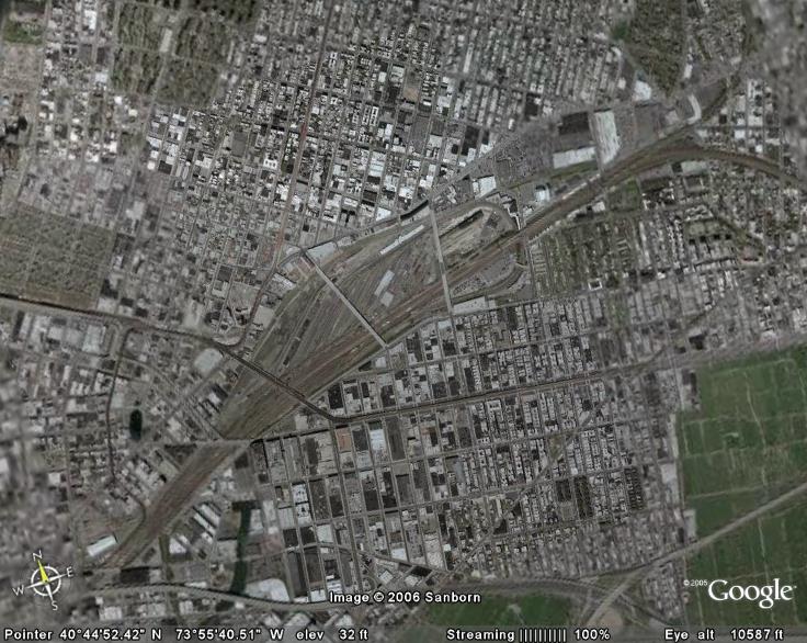 Hint: New York
 Hint: Maryland
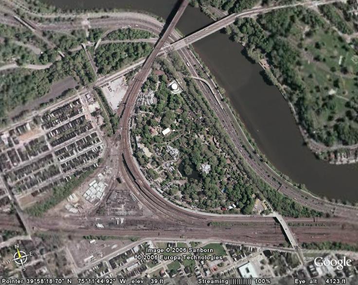 Hint: Pennsylvania
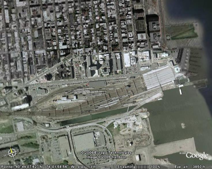 Hint: New Jersey
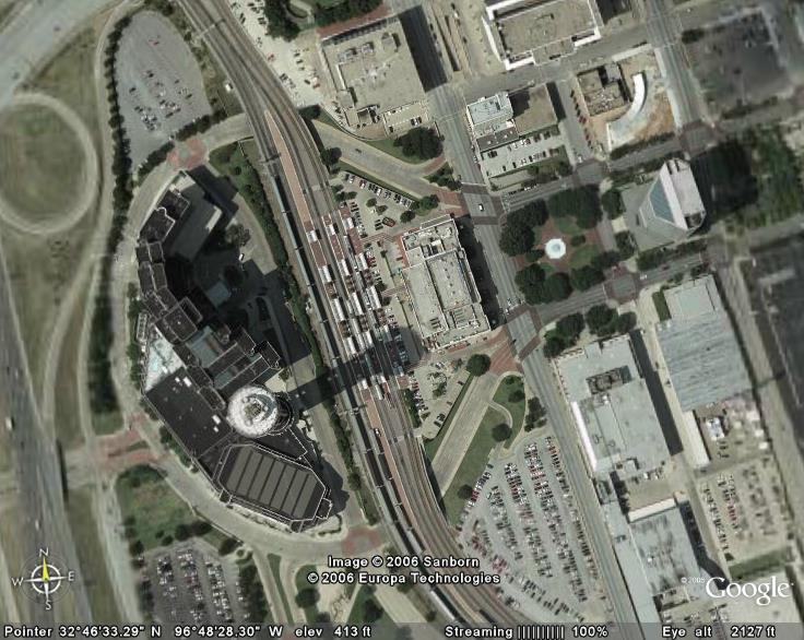 Hint: Texas
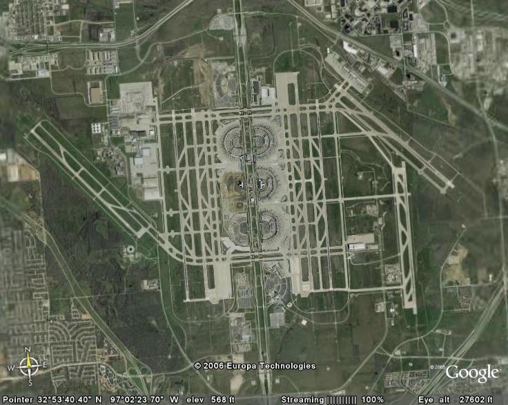 Hint: Texas
 Hint: Texas
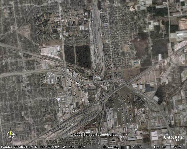 Hint: Texas
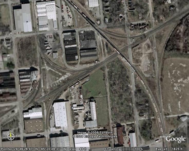 Hint: Texas
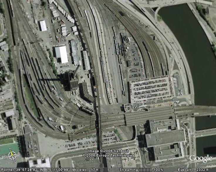 Hint: Pennsylvania
 Hint: Texas
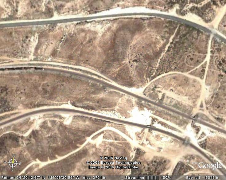 Hint: California
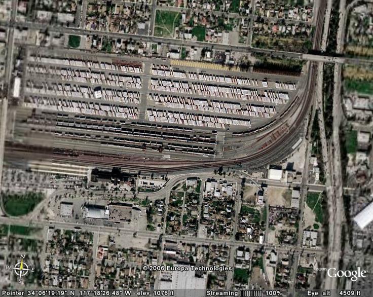 Hint: California
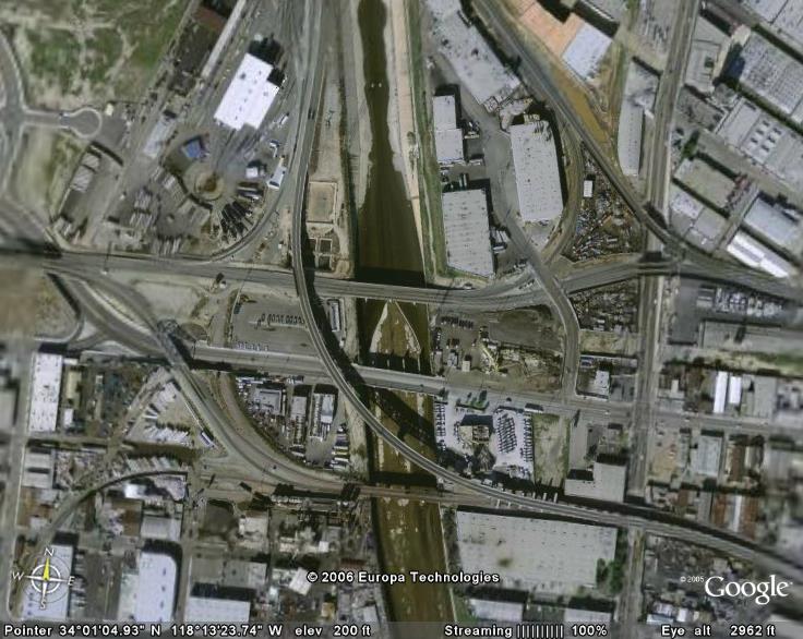 Hint: California
 Hint: California
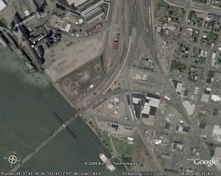 Hint: Washington
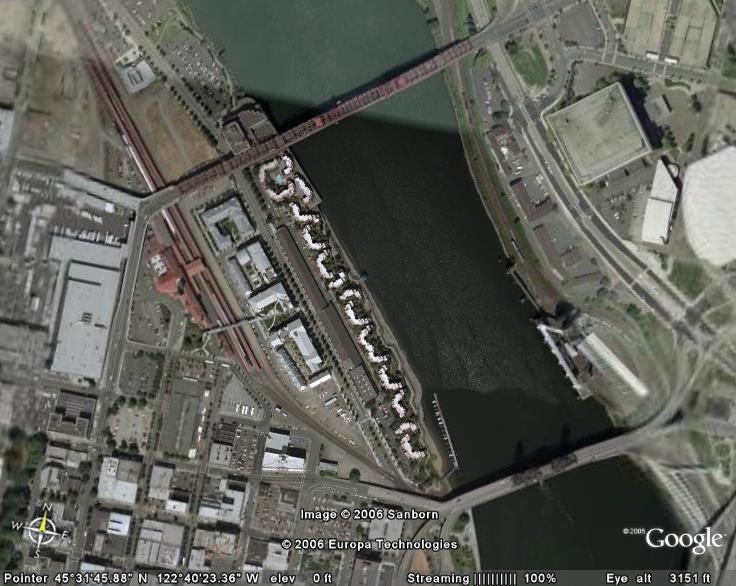 Hint: Oregon
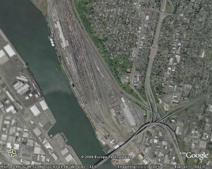 Hint: Oregon
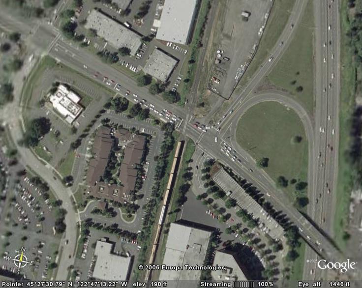 Hint: Oregon
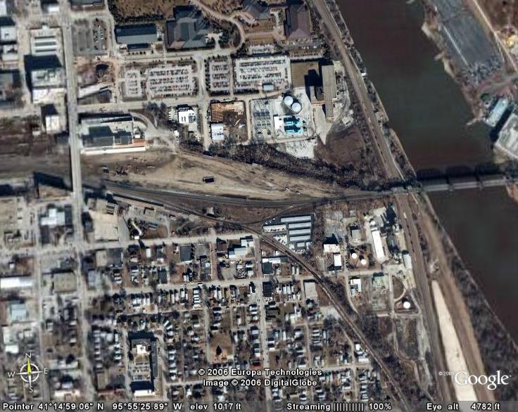 Hint: Nebraska
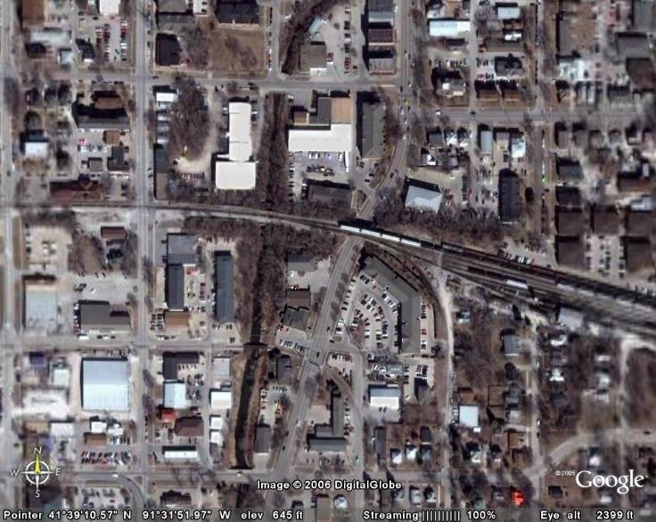 Hint: Iowa